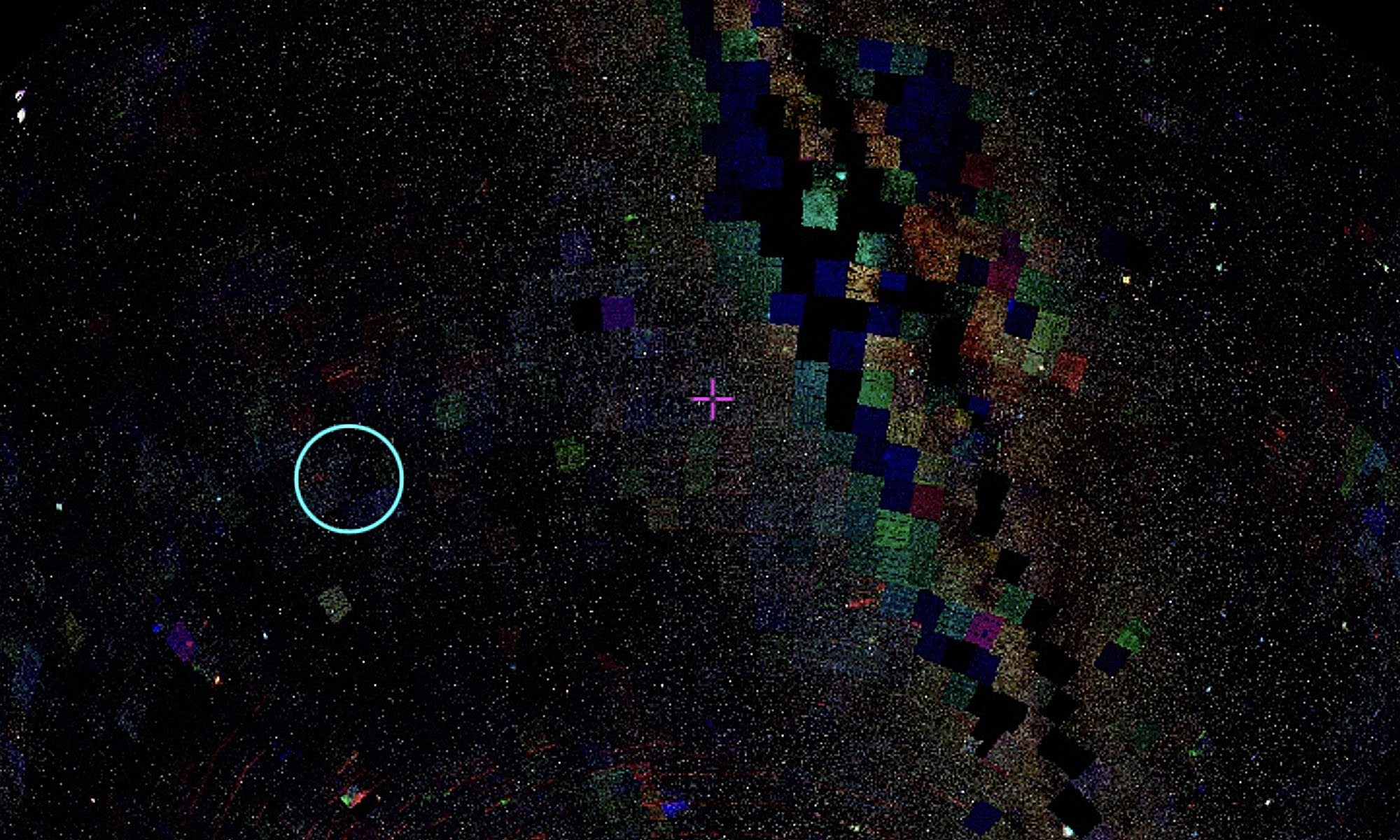
The shaky star images led me to ask Brad how we would go about creating such images now. I was thinking visually, of images that capture the hand-tremor of a human observer, but this unleashed the topic of Space Situational Awareness (SSA) – the massive, global, effort to track and be familiar with the environment of dynamic objects in space.
The recent increase in satellites means there is also an increase in radars watching satellites. This is a huge and multi-pronged industry which immediately brings up the military uses and reasons for tracking satellites – and also a completely different method and aesthetic of visualising them.
An increasing number of companies offer services specifically for producing high-res interactive visualisations of the satellites that astronomers actively avoid. I am interested in how a single satellite can be captured visually in such starkly different ways, and how the resulting representation encapsulates vastly different world views.
These are some screenshots from a quick but thought-provoking zoom around LeoLabs:
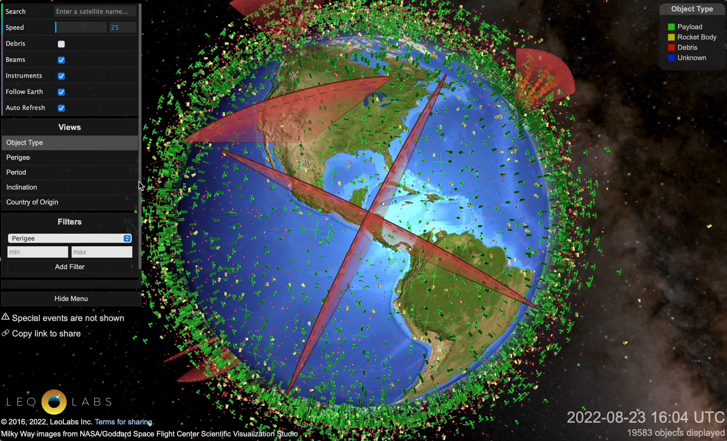 Green objects: satellites currently in space.
Red shapes: Leo Labs’ tracking radars.
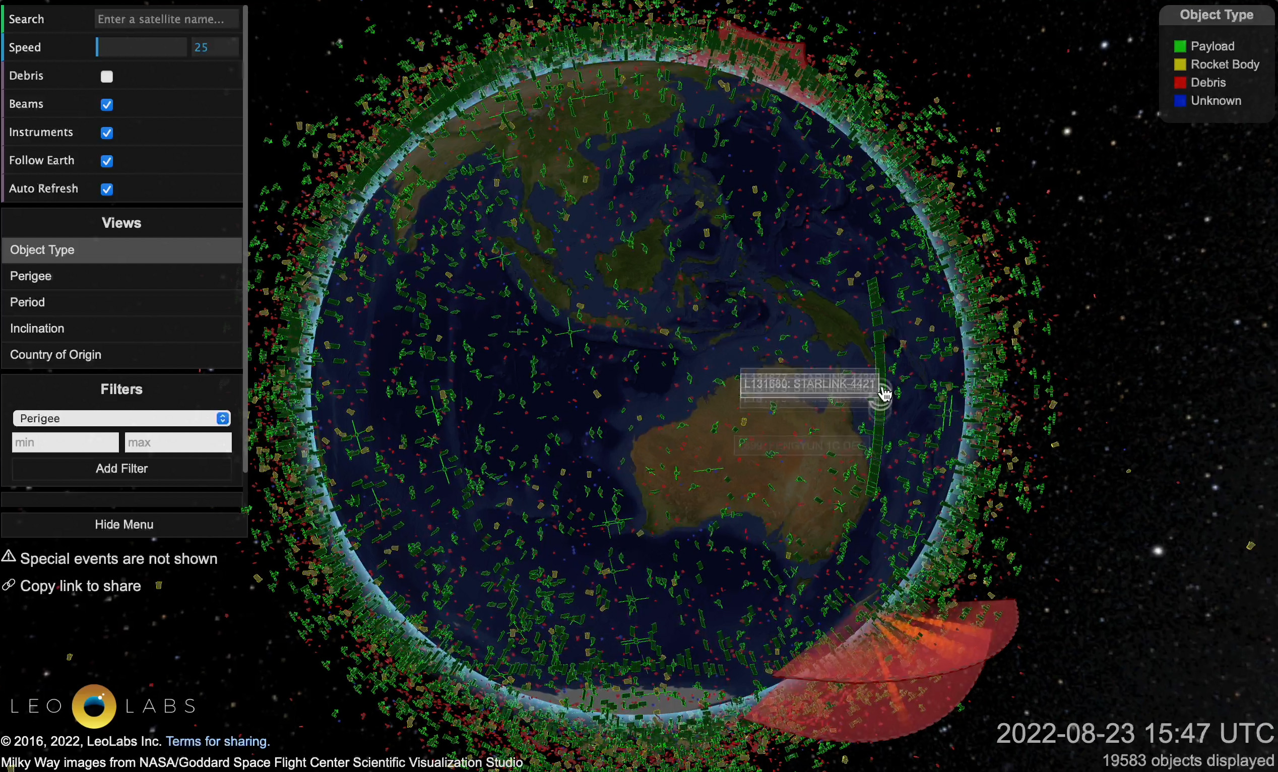
The straight line of satellites in this image are Starlink.
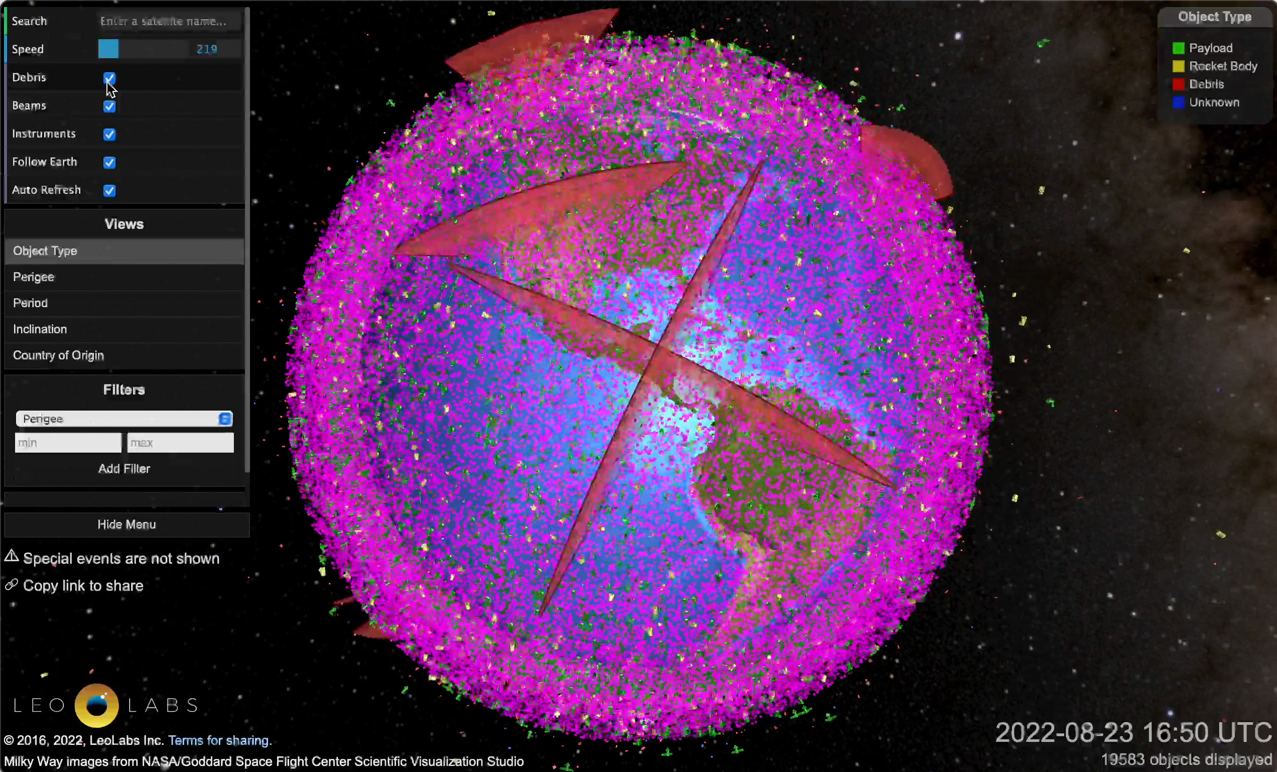
Pink objects: space debri 😧
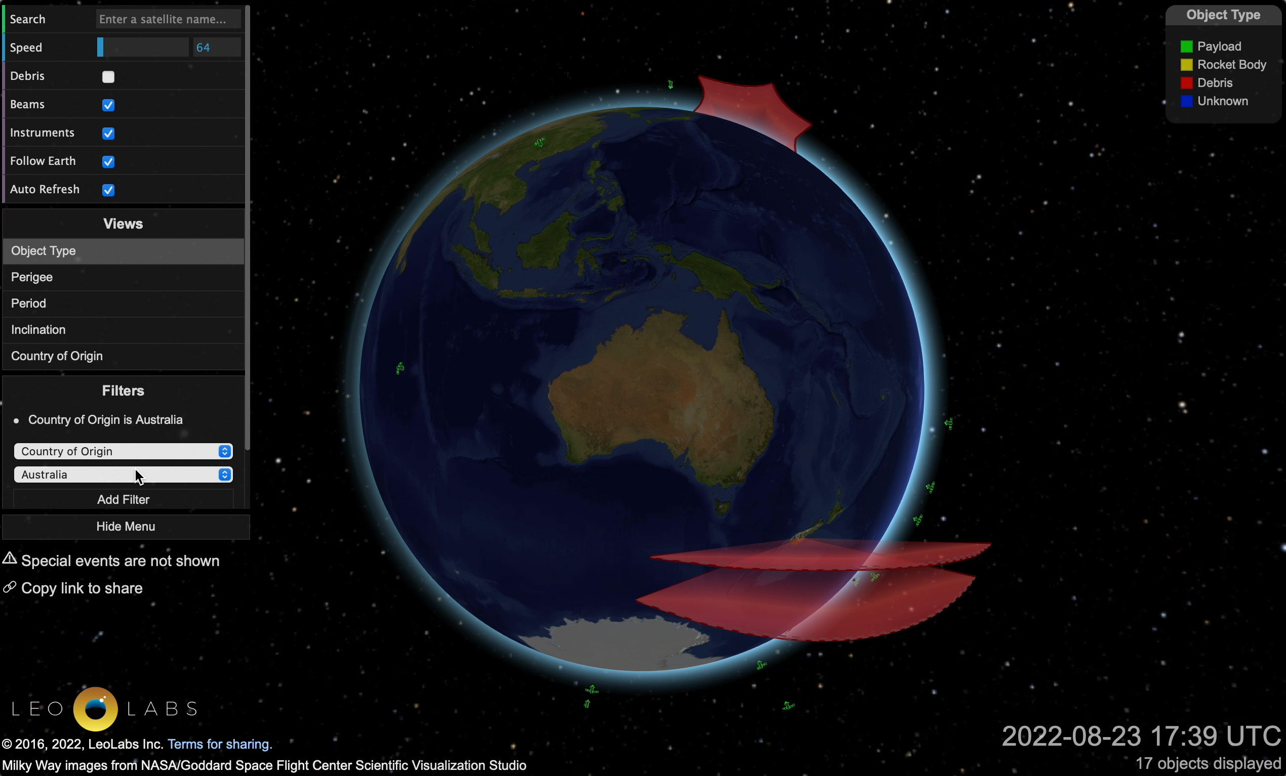 Australian owned satellites.
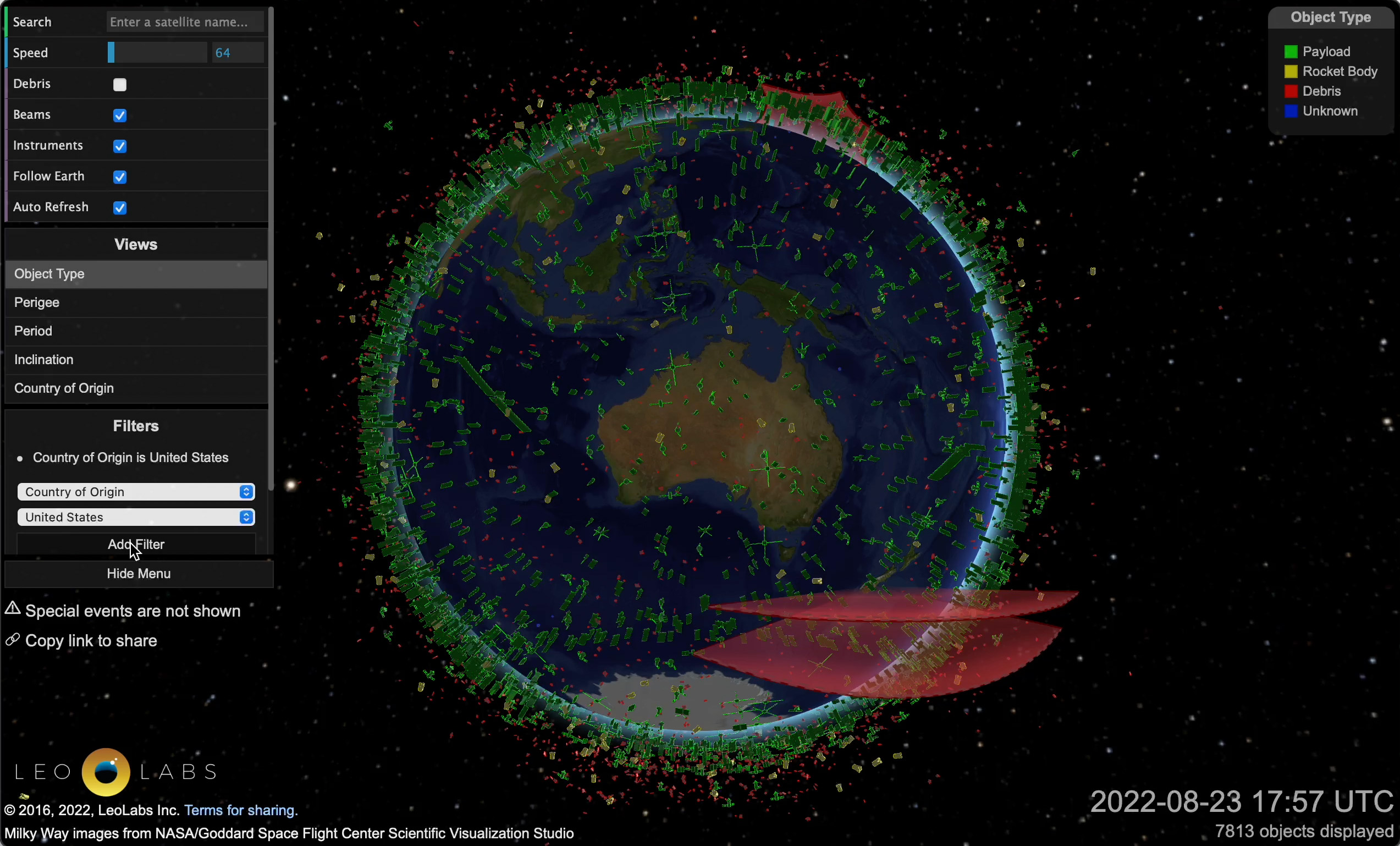
US owned satellites.