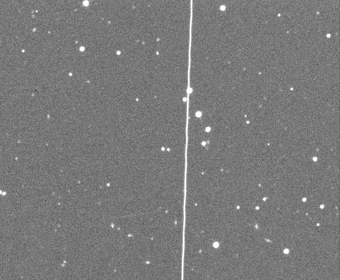
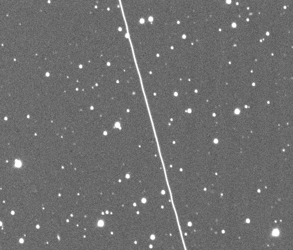
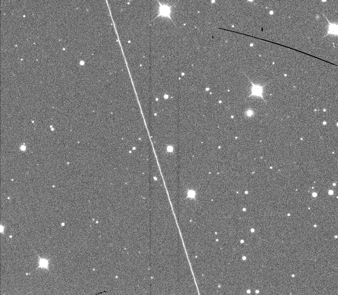
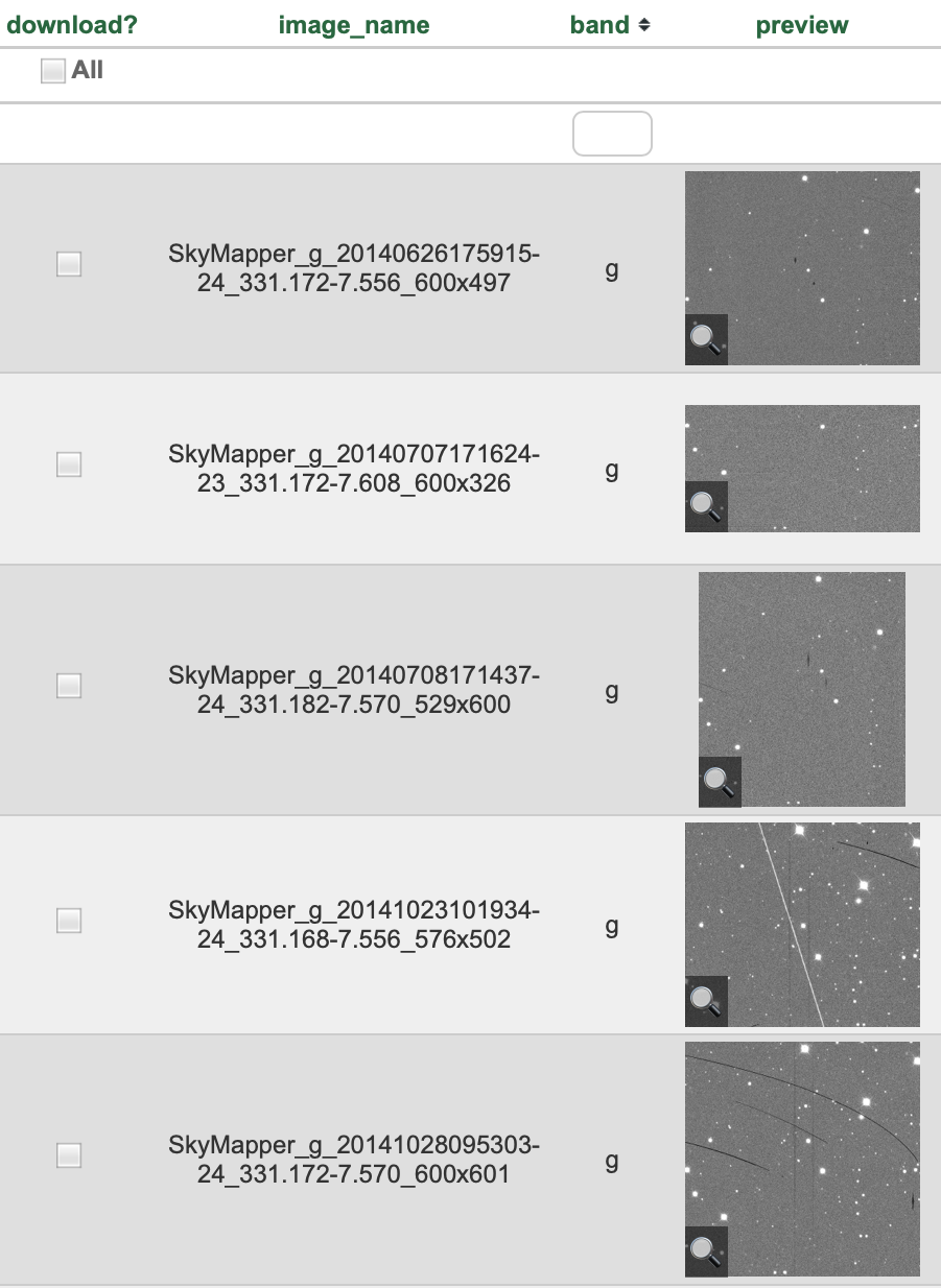
We have started using Skymapper, the wild-field survey telescope at ANU Research School of Astronomy and Astrophysics, to search out satellites that are already embedded in the database.
This telescope is at the summit of Mt Woorat (Siding Spring Mountain), in the Warrumbungle Dark Sky Park on Gamilaroi, Wiradjuri and Weilwan land.
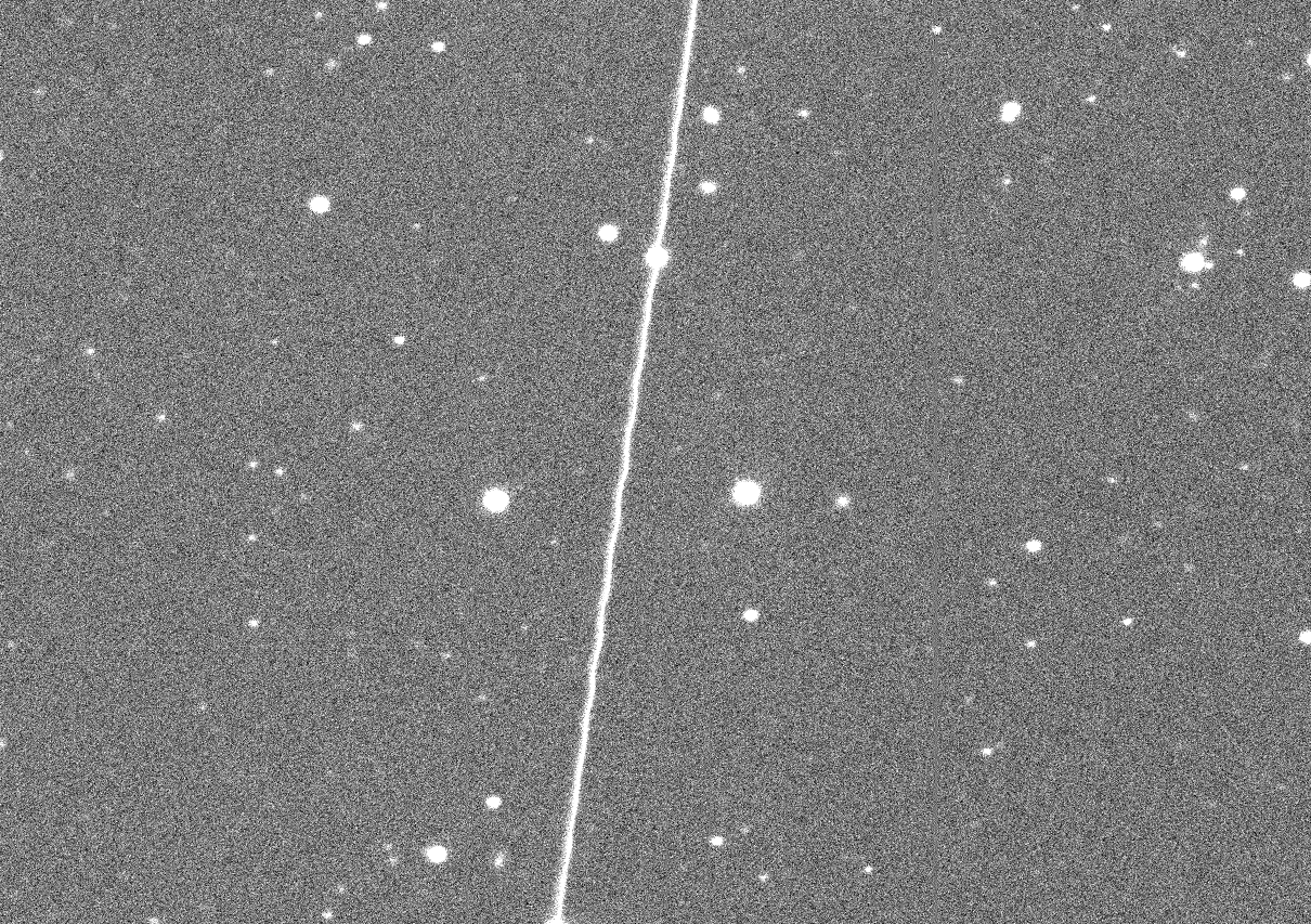
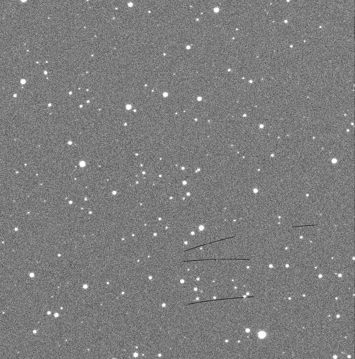
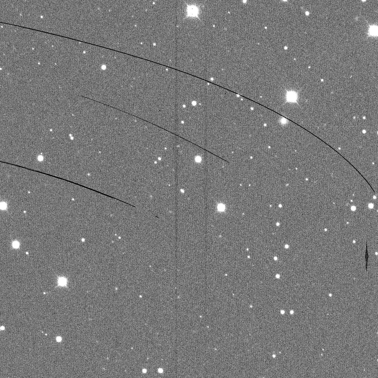
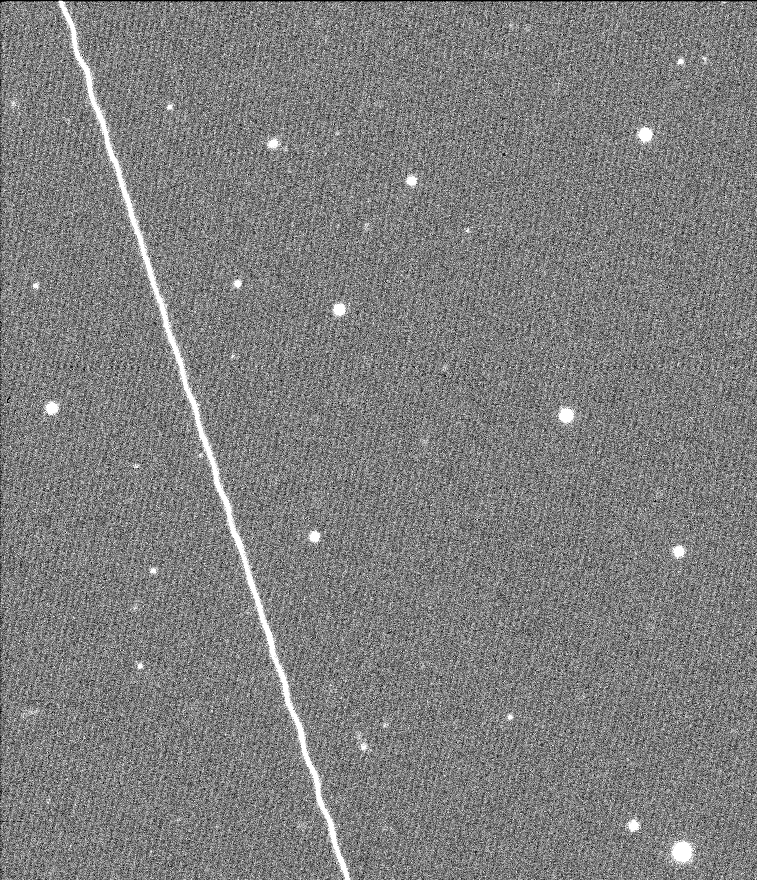
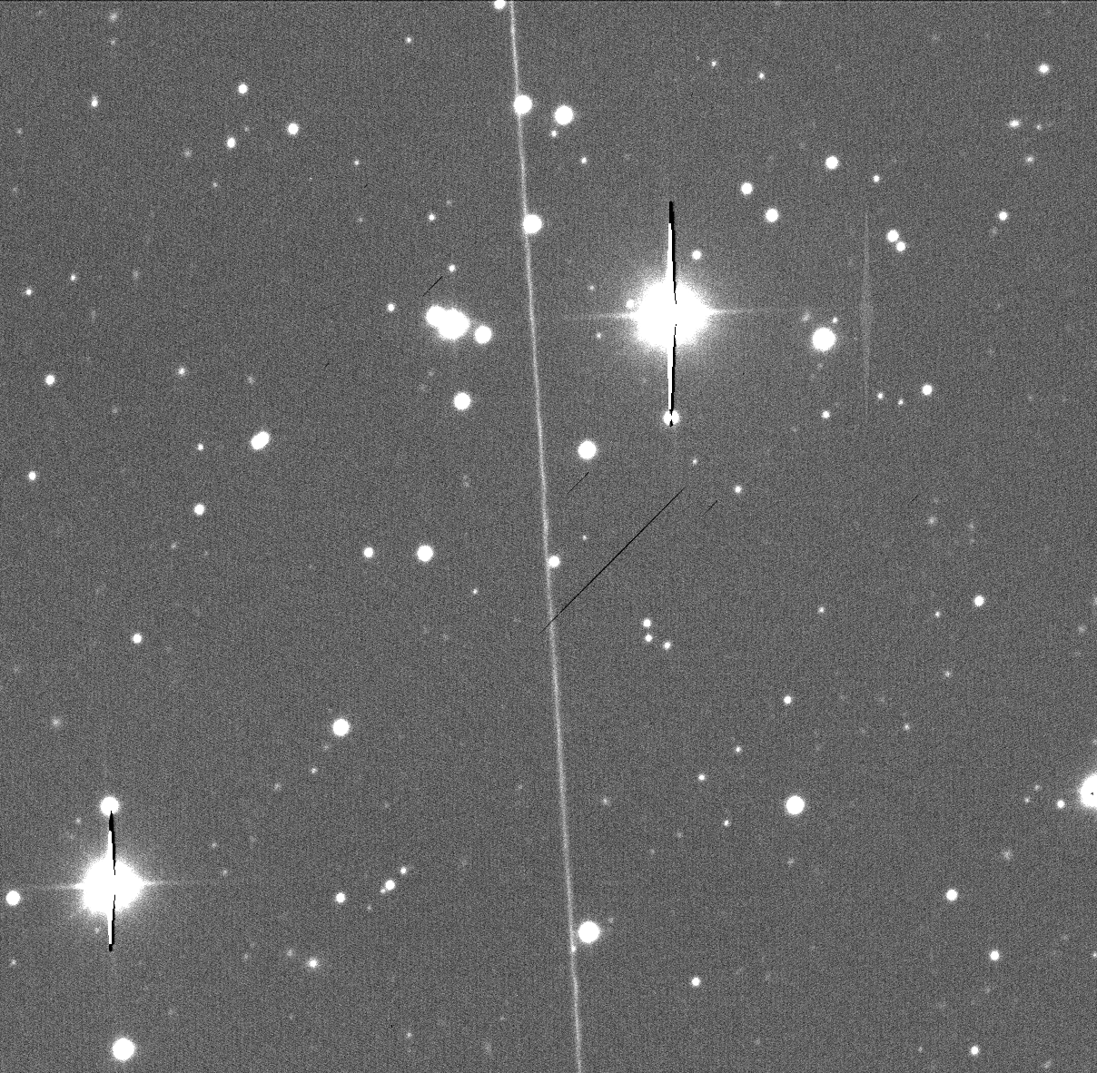
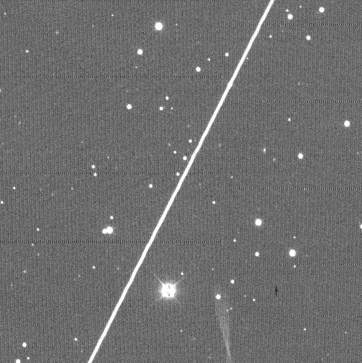
We discussed trying to access images that have been deleted due to too much interference but it isn’t clear where these go (yet!). So instead, Brad was able to find satellites by searching for images that are flagged as containing objects with significant elongation – this rules out stars, that are completely round.
These images are examples of the results. They still pass as usable because they are image cutouts, only affecting a small section of a bigger view.
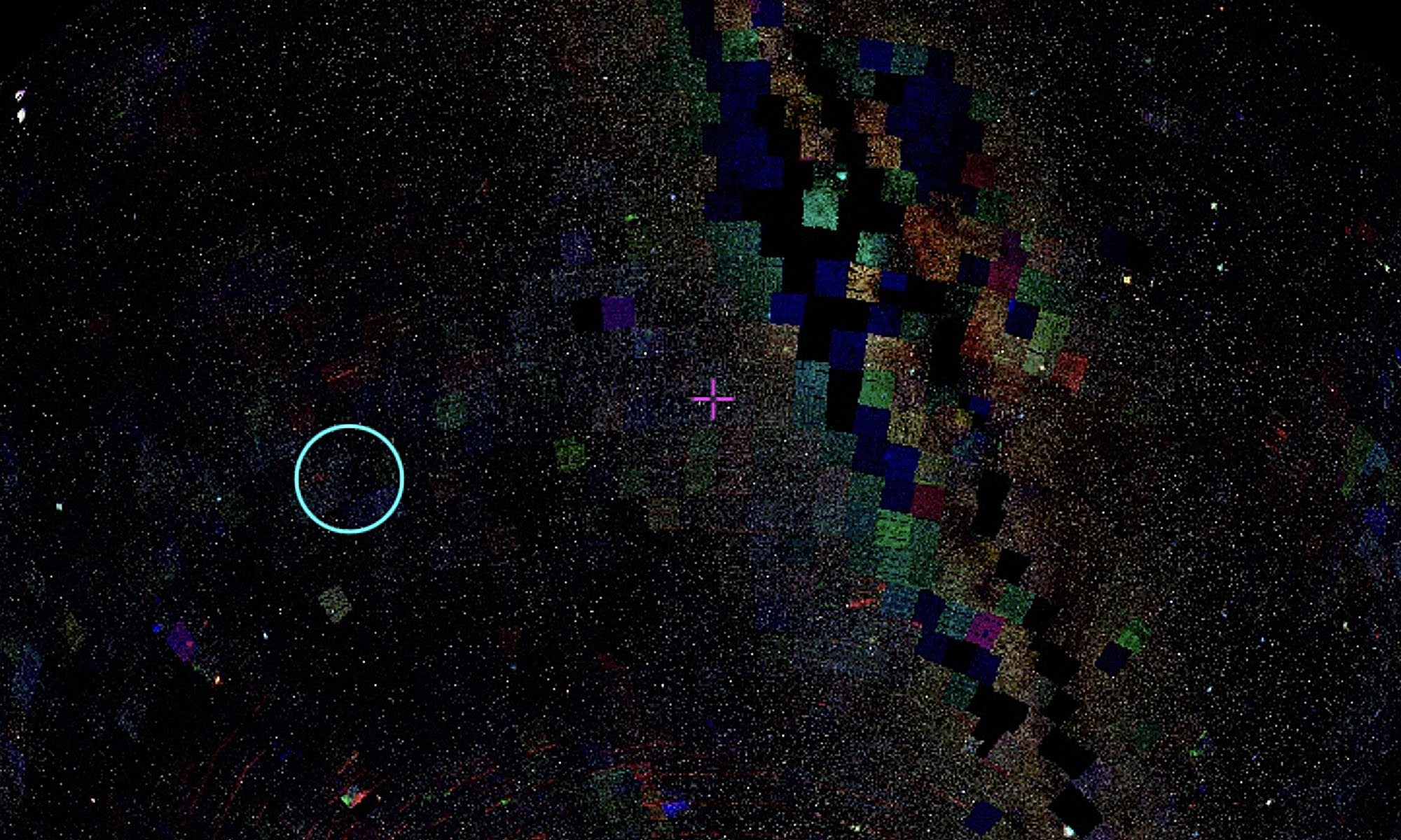
The ‘band’ of the images indicates the colour of light that is captured: U (ultraviolet); B (blue); G (green); V (visual); R (red); I (infrared) – but this measures intensity, not visual colour. In radio astronomy, this intensity is shown in contours, not physical images.
The different bands are captured in separated exposures of the same area. The variation is sometimes subtle but sometimes extreme, where prominent stars are the only consistent points. To compare the bands in a slightly different way, I have compiled a series of images of multiple bands describing the same area into an animated image sequence:
This is the same idea, but uses the Skyviewer service on Skymapper:
Finally, I experimented with animating and drawing over the images with satellite streaks while thinking through webs and lines in space:
More on Sky Viewer soon!